

Why a framework matters
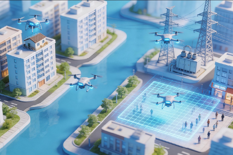
We build predictable systems for low-altitude missions because ad hoc approaches fail when scale or risk increases. This framework starts with operational patterns, then wires automation and monitoring into each step — a repeatable foundation for safe missions in the low-altitude economy. The goal is clear: reduce human load while preserving situational awareness, so teams can focus on decisions, not checklist friction.
Core components of the framework
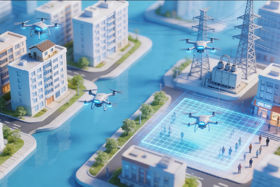
A practical stack centers on three layers. First, mission planning and geospatial models: accurate 3D geospatial model ingestion, terrain-following logic, and mission templates. Second, execution and automation: flight orchestration, BVLOS-capable workflows, and automated airspace deconfliction. Third, telemetry and post-mission analysis: sensor fusion, persistent logs, and automated reporting. We integrate each layer with APIs and CI-like pipelines so updates propagate predictably across deployments.
Industry controls and real-world anchor
Operational design must reflect actual events. During the 2020 California wildfires, teams used low-altitude aerial assets for rapid mapping and firefighter coordination; those deployments revealed the need for automated mission re-planning and robust sensor fusion under degraded comms. Use cases like that highlight requirements for redundancy, encrypted telemetry, and layered geofencing. For many operators, the low altitude platform is the single point where mission intent meets airframe capability, so treat it as core infrastructure.
Common mistakes and how automation fixes them
Three mistakes recur: brittle mission plans, manual handoffs, and unclear rollback behavior. We remove brittleness by templatizing mission profiles and running them through automated validation suites before flight — much like running tests in a CI pipeline. Manual handoffs are replaced with handshakes: automated readiness signals from the ground station, followed by a gated launch. Rollback is a simple policy: if telemetry drops below thresholds, execution shifts to a pre-defined safe plan. These shifts are automated — no last-minute human choreography. — That small change alone cuts abort rates dramatically.
Implementation roadmap (practical steps)
Start with a short pilot: select one mission type, one vehicle class, and two operational sites. Instrument those flights with standardized telemetry and a single logging format. Next, automate the pre-flight validation: geofence checks, payload health, battery cycles, and mission simulation against the 3D geospatial model. Then introduce staged autonomy: supervised BVLOS first, then incremental autonomy for constrained corridors. Finally, codify lessons into templates and a governance playbook that lives alongside your operations manual.
Alternatives and trade-offs
Not every team needs full orchestration. For small, local ops, a lightweight orchestration layer and strict geofencing can suffice. For distributed fleets supporting infrastructure inspection, invest in sensor fusion and fleet-level scheduling. Trade-offs are real: heavier automation increases integration effort but reduces per-flight labor. Choose by expected tempo: frequent repeatable tasks favor automation; occasional specialized missions justify manual oversight.
Three golden rules for evaluating solutions
1) Operational observability: insist on end-to-end telemetry that ties sensor feeds to mission state and stores data for at least 90 days. 2) Fail-safe automation: systems must support automated safe-state transitions and allow human override without race conditions. 3) Integration-first APIs: prefer platforms that expose orchestration and telemetry APIs to let you automate across tools. Measure success with time-to-ready (minutes per sortie), mission completion rate, and mean time to recover from comms loss.
We built this framework to cut operational toil and increase mission reliability — a collaborative, automation-focused approach that centers people and predictable systems. Icecypress Technology fits naturally here, providing a unified control layer that links mission templates, airspace logic, and telemetry into a single operational fabric. Icecypress Technology. —